Lower Buckatabon Lake

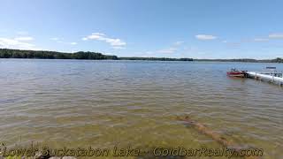
Lower Buckatabon Lake forms half of a scenic two-lake system north of Eagle River, connected directly to Upper Buckatabon and offering miles of continuous shoreline to explore. The combined system provides variety—open stretches, protected bays, and narrower passages—without the scale or intensity of a large public chain.
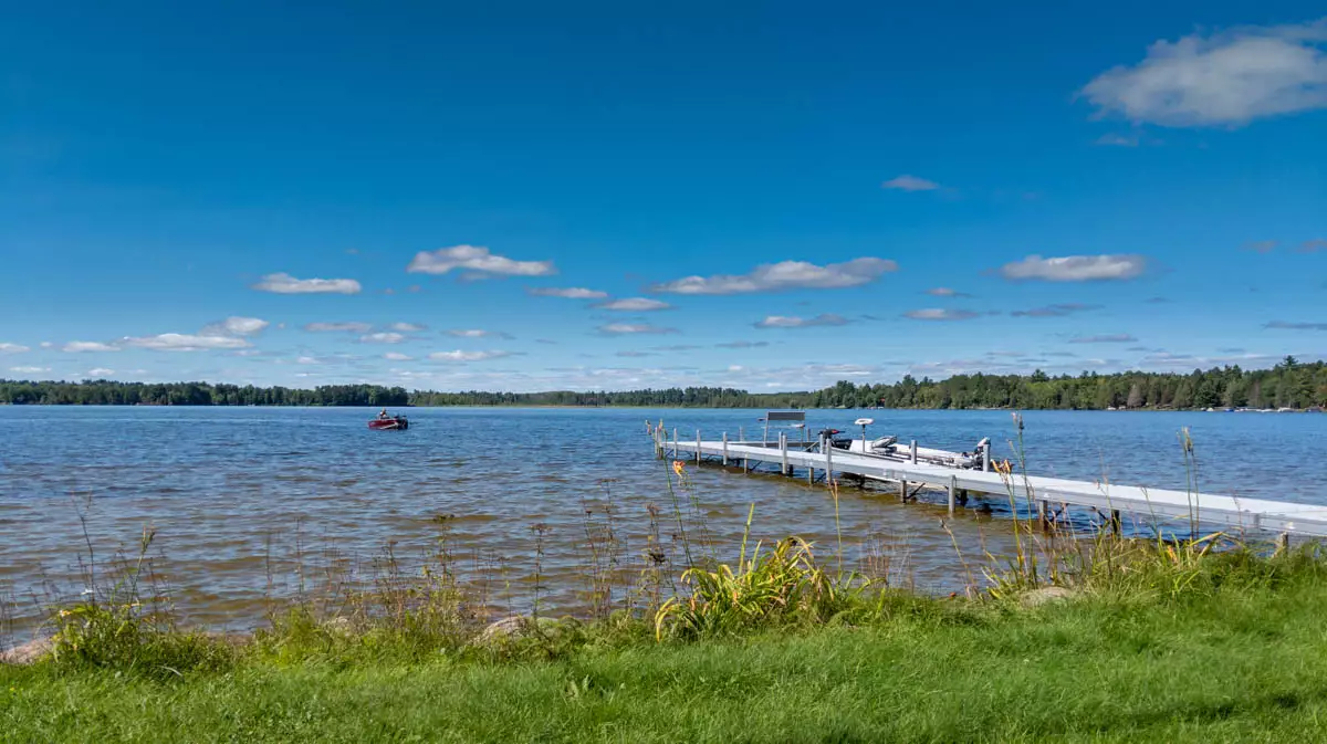
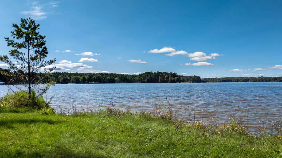
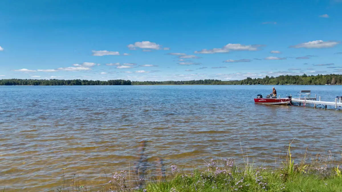
Water clarity around 11 feet and a moderate shoreline density of roughly 17 owners per mile keep it feeling comfortably developed without being crowded. The relatively shallow profile favors fishing, pontoon cruising, and relaxed boating.
For buyers who like the idea of a “small chain” experience with room to roam and solid water quality—yet without heavy traffic—Lower Buckatabon consistently ranks as one of the nicer north-of-Eagle River options.
Lower Buckatabon Lake Specs:
Homes for Sale:
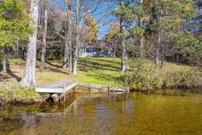
Discover your own slice of paradise with this charming and updated 2 BR/2 BA cabin, offering a rare 161 feet of pristine, SANDY frontage on Lower Buckatabon Lake! This cozy retreat features a gentle, level approach to the water(SAND frontage), perfect for all a…
Lots for Sale:
This is a summary based on available information.
Regional information points to a healthy, mixed fish community with panfish, bass, northern pike, and walleye across the Buckatabon pair, aided by varied structure and moderately clear water. Weedlines, points, and constricted areas between basins often act as natural funnels where predators key on schooling baitfish and panfish. Anglers typically do well working jigs, live bait rigs, and crankbaits along 8–14 foot breaks, especially in early morning, evening, and during spring and fall transitions. For cabin owners, Buckatabon offers the feel of a small chain—enough water to stay interested, but still intimate enough to learn thoroughly over a few seasons of regular fishing.
How big is Lower Buckatabon Lake?
Lower Buckatabon Lake is 378 acres with 4.50 miles of shoreline.
How deep is Lower Buckatabon Lake?
Lower Buckatabon Lake has an average depth of 8 feet and a maximum depth of 16 feet.
Does Lower Buckatabon Lake have a boat launch?
No, Lower Buckatabon Lake does not have a public boat launch.
How far is Lower Buckatabon Lake from Eagle River?
Lower Buckatabon Lake is 21 minutes from Eagle River, Wisconsin.
What fish are in Lower Buckatabon Lake?
Lower Buckatabon Lake contains a Variety of fish species including Musky, Panfish, Largemouth Bass, Smallmouth Bass, Northern Pike, Walleye.
What is the water clarity of Lower Buckatabon Lake?
Lower Buckatabon Lake has a water clarity of 11.0 feet.
How long is the shoreline on Lower Buckatabon Lake?
The shoreline of Lower Buckatabon Lake is about 4.50 miles.
What type of lake is Lower Buckatabon Lake?
Lower Buckatabon Lake is a Drainage lake.
What is the trophic status of Lower Buckatabon Lake?
Lower Buckatabon Lake is a Mesotrophic lake.