Upper Buckatabon Lake

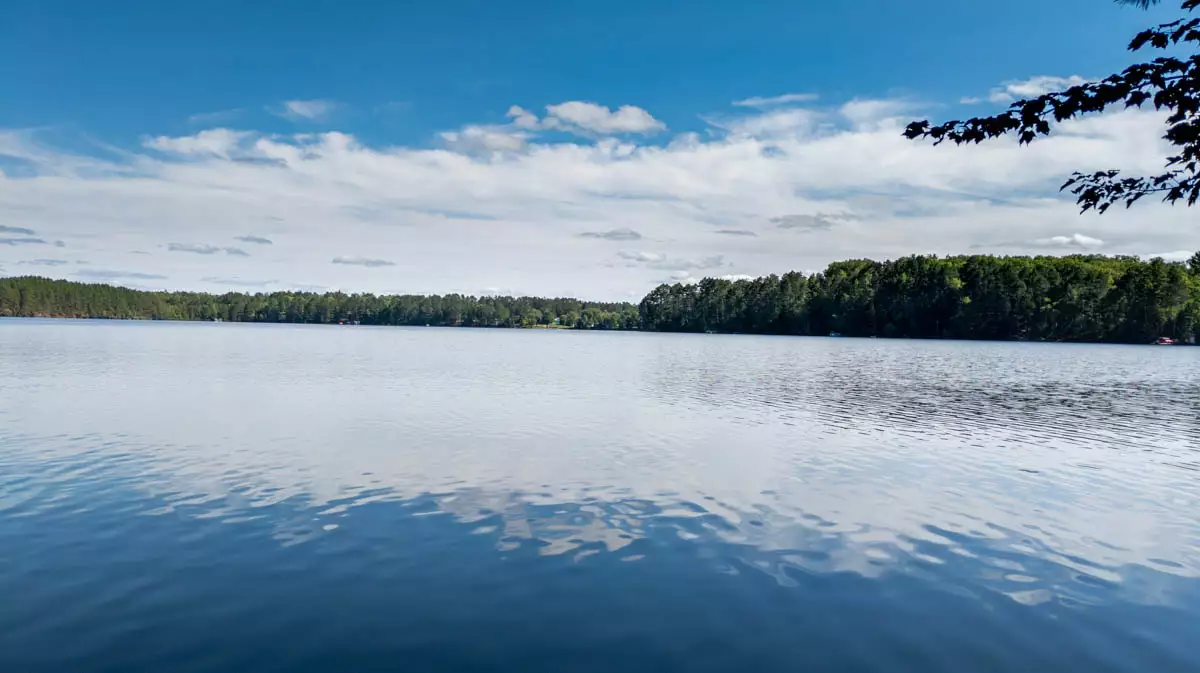
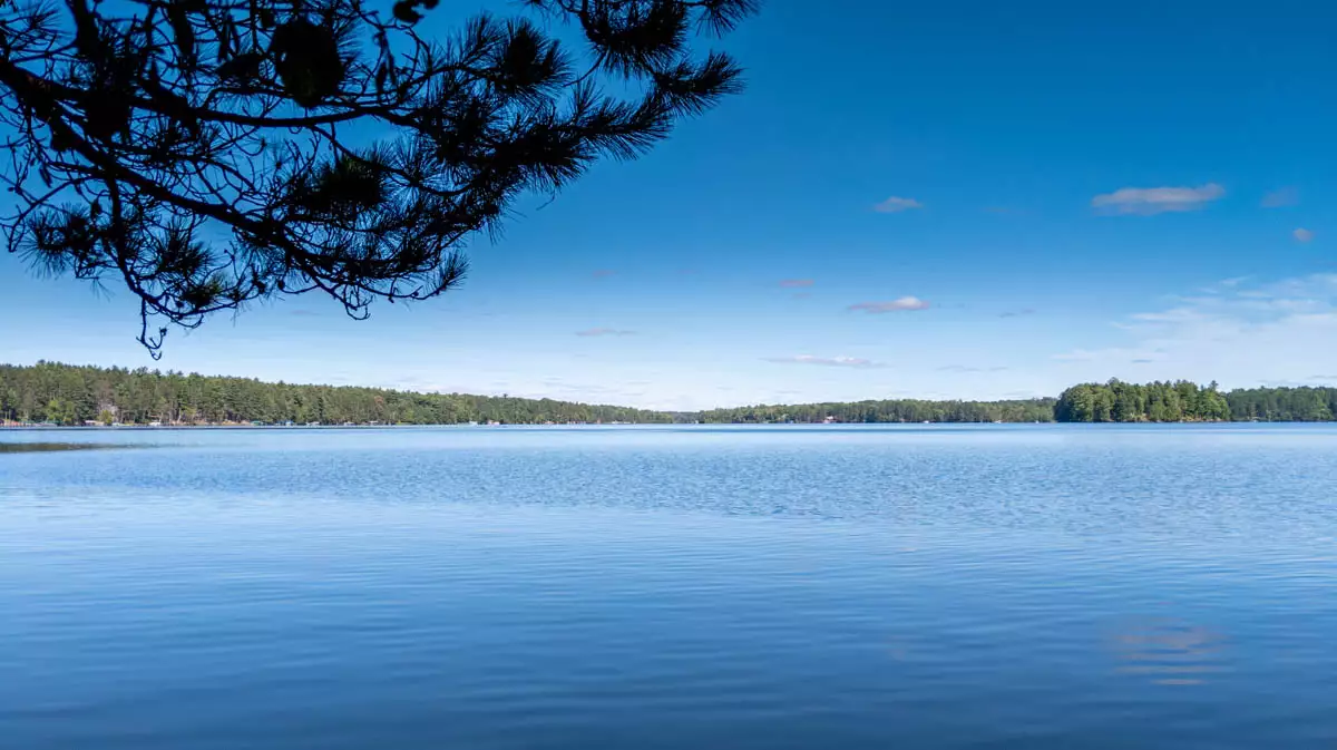
Upper Buckatabon Lake is the stronger half of the Buckatabon pair north of Eagle River, offering clearer, deeper water and a slightly quieter feel than Lower Buckatabon.
Its connection to Lower Buckatabon effectively gives owners a small chain experience, with miles of shoreline, bays, narrows, and varied scenery to explore from one home base. Clarity, depth, and connected water elevate it above most standalone lakes in the region.
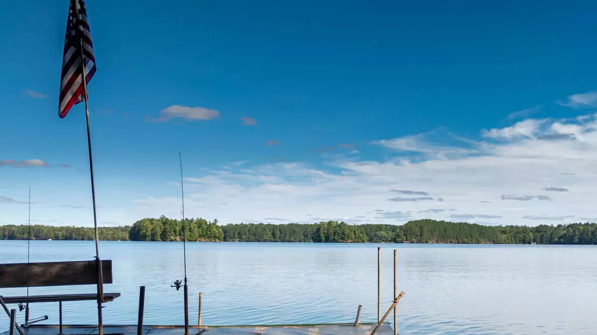
Buyers who choose Upper Buckatabon typically want clear water, good fishing, and extended cruising range without the intensity of a major resort chain.
Upper Buckatabon Lake Specs:
Homes for Sale:
Lots for Sale:


This is a summary based on available information.
The combined Buckatabon lakes support a diverse fish community including panfish, bass, northern pike, and walleye, benefitting from varied depths and structure. On Upper Buckatabon, clearer, deeper areas tend to favor smallmouth and walleye along breaks, points, and rockier sections, while weedlines and shallower bays hold largemouth, panfish, and pike. Anglers often treat the two lakes as a single fishery, moving between them to match species and conditions, working jigs, live bait rigs, and crankbaits along 8–16 foot edges. For cabin owners, Upper Buckatabon offers both “backyard” spots close to home and the pleasure of day‑tripping into the lower lake when they want a change of scenery or a different bite.
How big is Upper Buckatabon Lake?
Upper Buckatabon Lake is 493 acres with 6.80 miles of shoreline.
How deep is Upper Buckatabon Lake?
Upper Buckatabon Lake has an average depth of 20 feet and a maximum depth of 47 feet.
Does Upper Buckatabon Lake have a boat launch?
Yes, Upper Buckatabon Lake has a public boat launch.
How far is Upper Buckatabon Lake from Eagle River?
Upper Buckatabon Lake is 20 minutes from Eagle River, Wisconsin.
What fish are in Upper Buckatabon Lake?
Upper Buckatabon Lake contains a Variety of fish species including Musky, Panfish, Largemouth Bass, Smallmouth Bass, Northern Pike, Walleye.
What is the water clarity of Upper Buckatabon Lake?
Upper Buckatabon Lake has a water clarity of 12.0 feet.
How long is the shoreline on Upper Buckatabon Lake?
The shoreline of Upper Buckatabon Lake is about 6.80 miles.
What type of lake is Upper Buckatabon Lake?
Upper Buckatabon Lake is a Drainage lake.
What is the trophic status of Upper Buckatabon Lake?
Upper Buckatabon Lake is a Mesotrophic lake.